Lacs et frontière
“Lakes and border”
THIS four-day, bikepacking route starts and ends in Newport, VERMONT, and leads riders across Québec’s Eastern Townships on gravel roads and dedicated bike paths, along the shorelines of three major lakes, through a national park, and past village cafés, wineries, and breweries.
Learn more about this unique and collaborative project to highlight the amazing gravel riding and communities on both sides of the border!
START (& eND) IN NEWPORT, vt
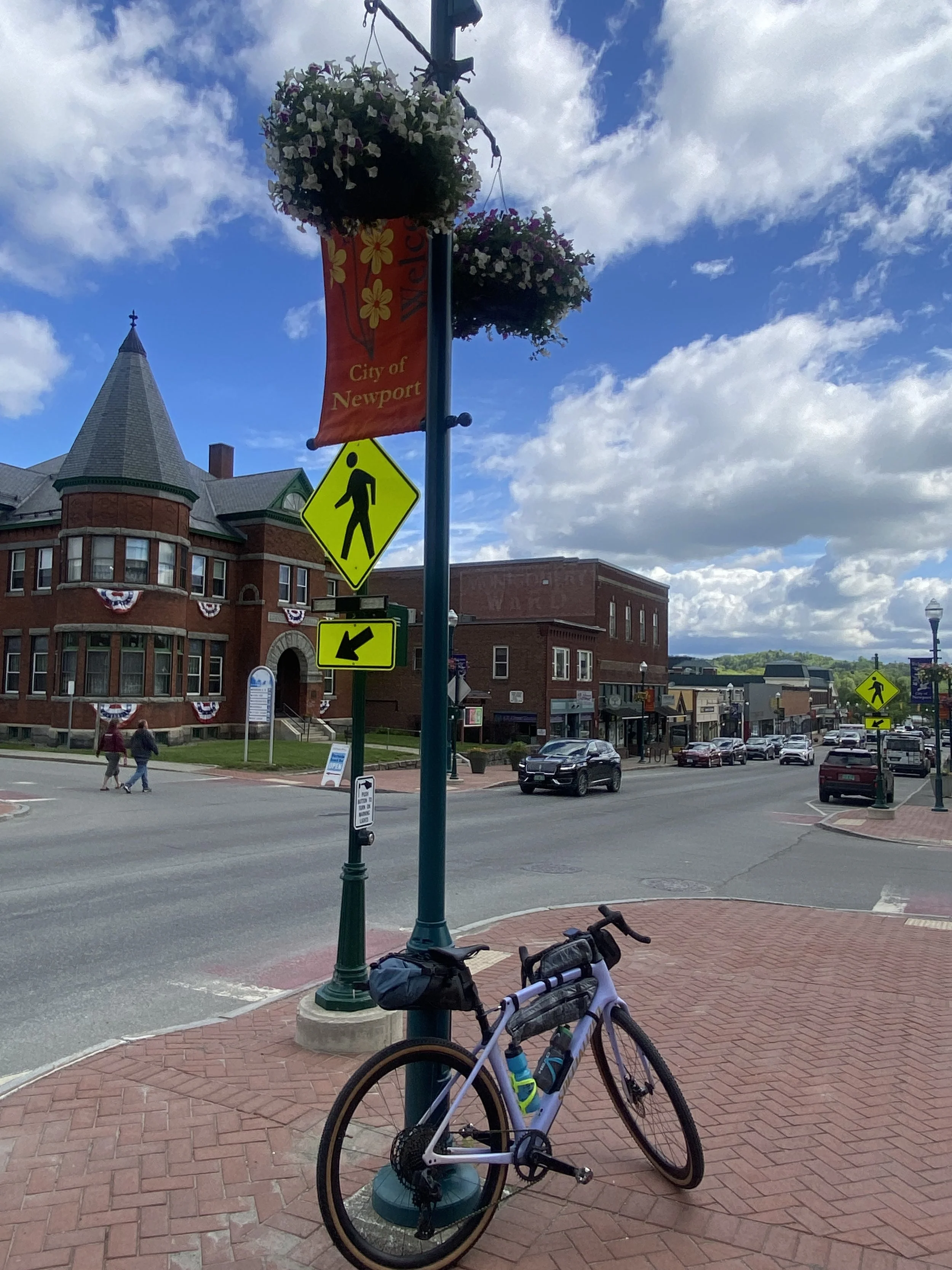
Your ride begins in beautiful Newport, Vermont. Get a good night’s sleep at Prouty Beach Campground where you can camp before your upcoming adventure!
Be sure to explore the downtown area's great shops and restaurants before starting your journey north.
DAY 1
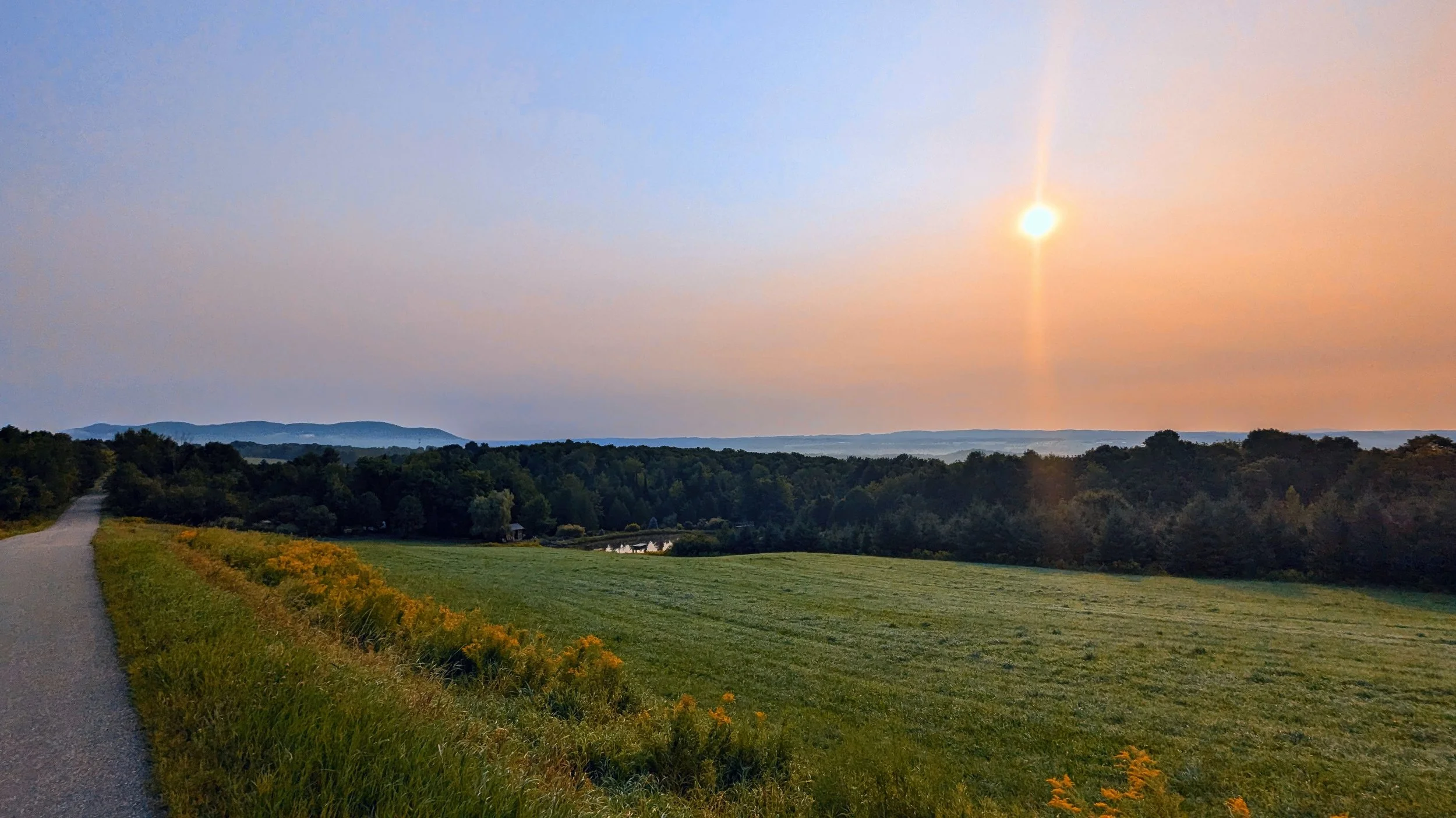
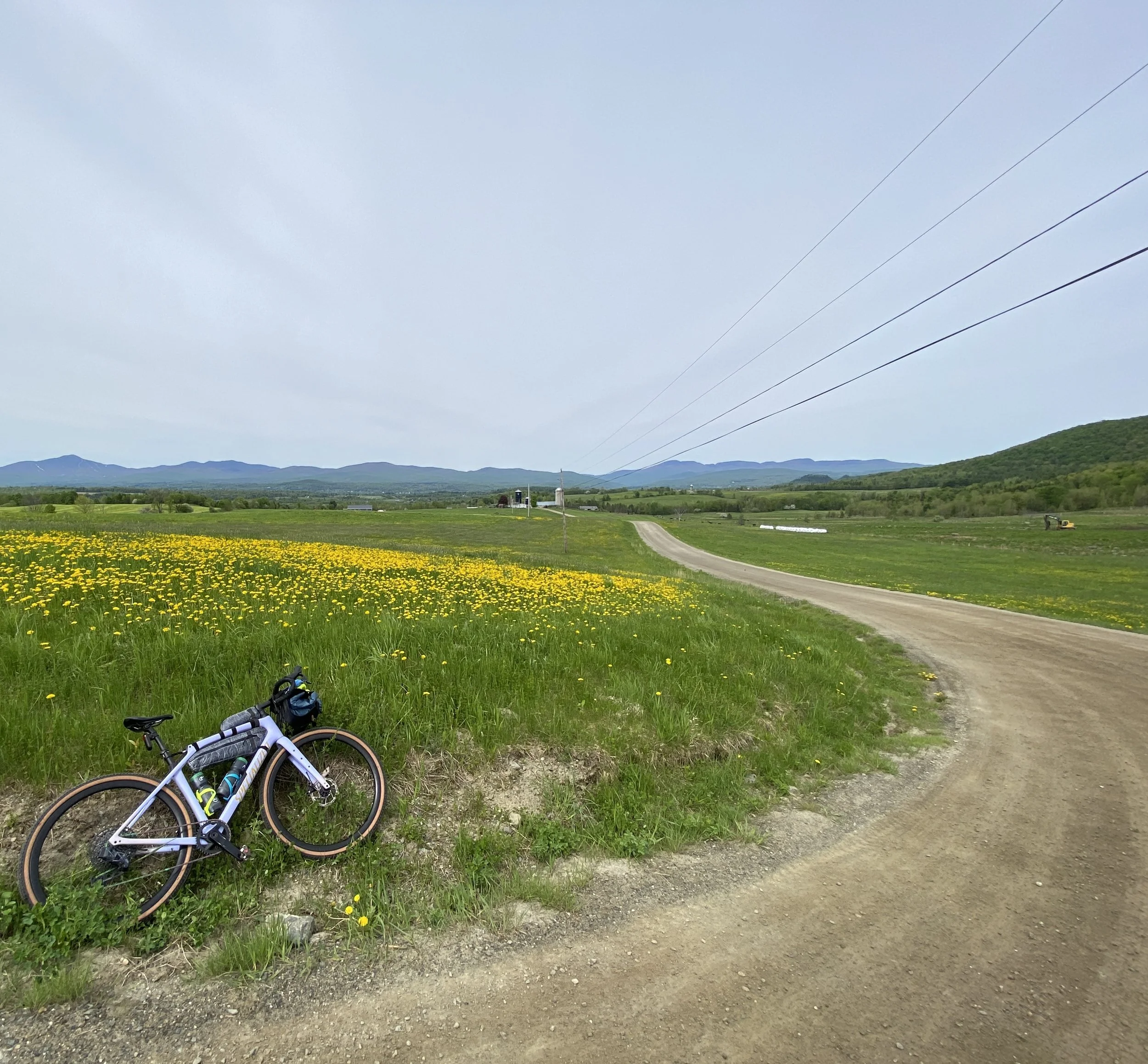
As you make your way to the U.S./Canadian border at North Troy/Highgate, be ready for a big climb with a rewarding descent and spectacular views of Jay Peak on a clear day. Don't forget your passport!
Once you come into Highwater, consider pedaling the short distance to Camping Nature Plein Air where you'll be staying for the night. You can drop gear, set up your campsite, and save weight before finishing the day's ride continuing through Mansonville and Dunkin, where you can also grab a snack or supplies.
DAY 2
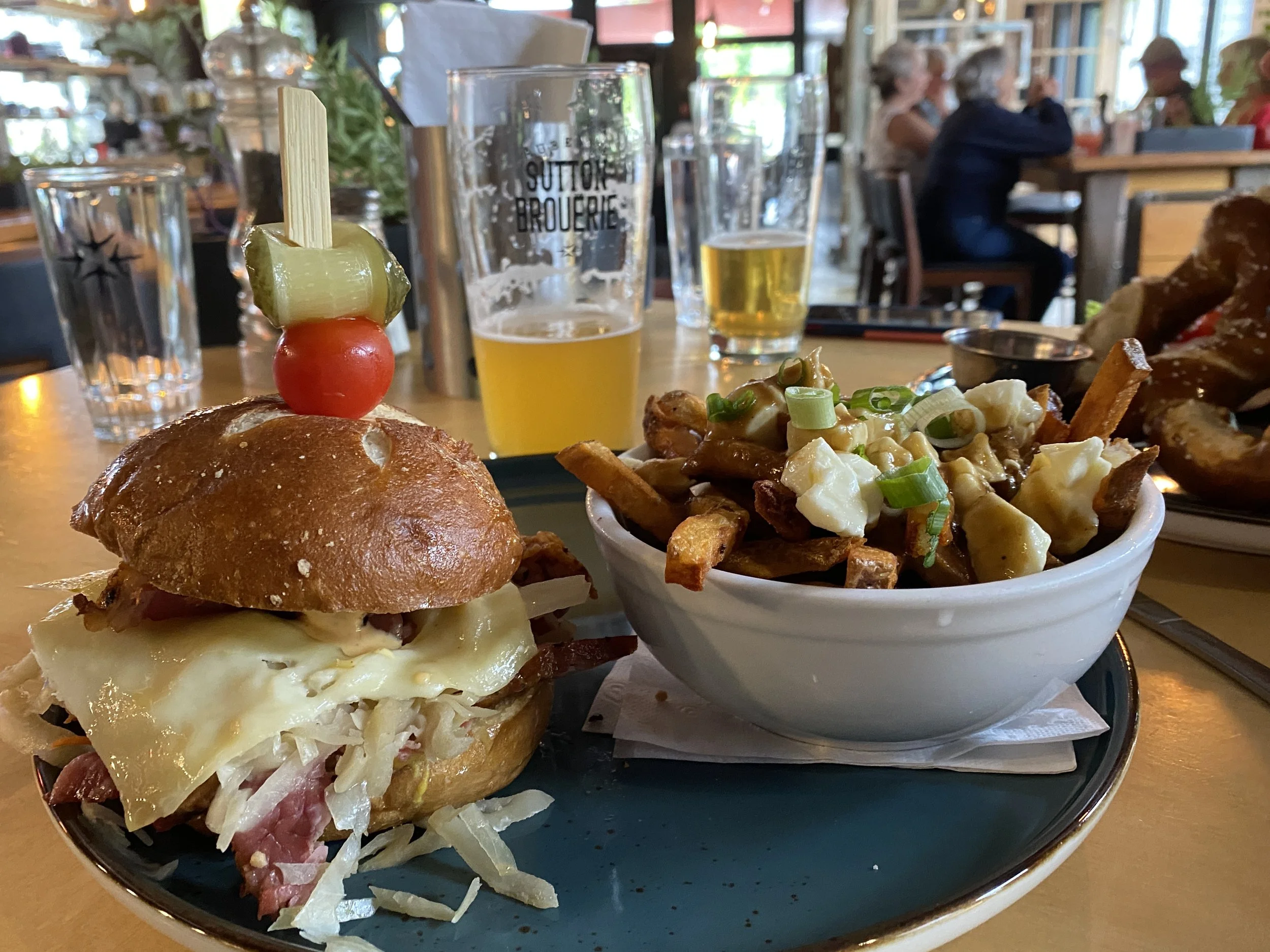
Day 2 takes you through Sutton to Lake Brome. A 16.5 mi / 26.5 km ride from Camping Nature Plein Air, Sutton has several restaurants and other shops for reprovisioning. If you're feeling luxurious, a stop at one of the several wineries framed by the Sutton Mountain Range is worth it.
Once you leave town, you'll go another 5 mi / 8 km, where you'll then ride along the edge of the Green Mountains Nature Preserve. Upon reaching Knowlton, you'll be treated to 7 mi / 11.2 km along the eastern coast of Lake Brome until you get to your campsite at Camping Domaine des Erables on the shore of Lake Brome.
DAY 3
After waking up on Lake Brome, head into Waterloo or continue 14 mi / 23 km to Eastman for reprovisioning and a cafe stop.
After leaving Eastman, you'll reach Mont-Orford National Park. Don't forget to get a day pass! Highlights of riding through the park include being surrounded by mountains, sugar maple forests, and breathtaking views along the edge of Cherry Pond.
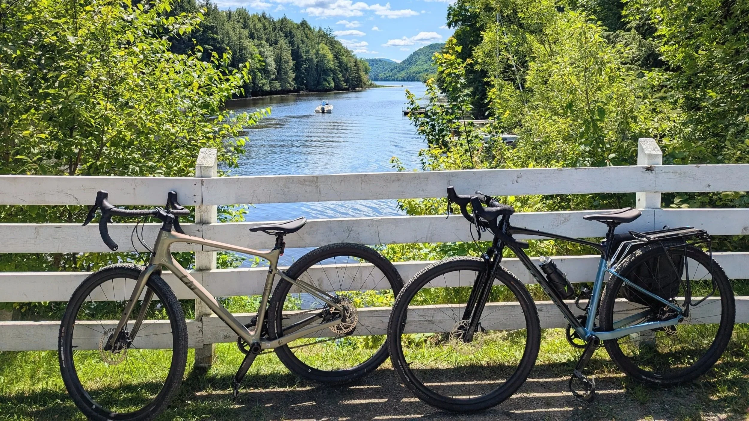
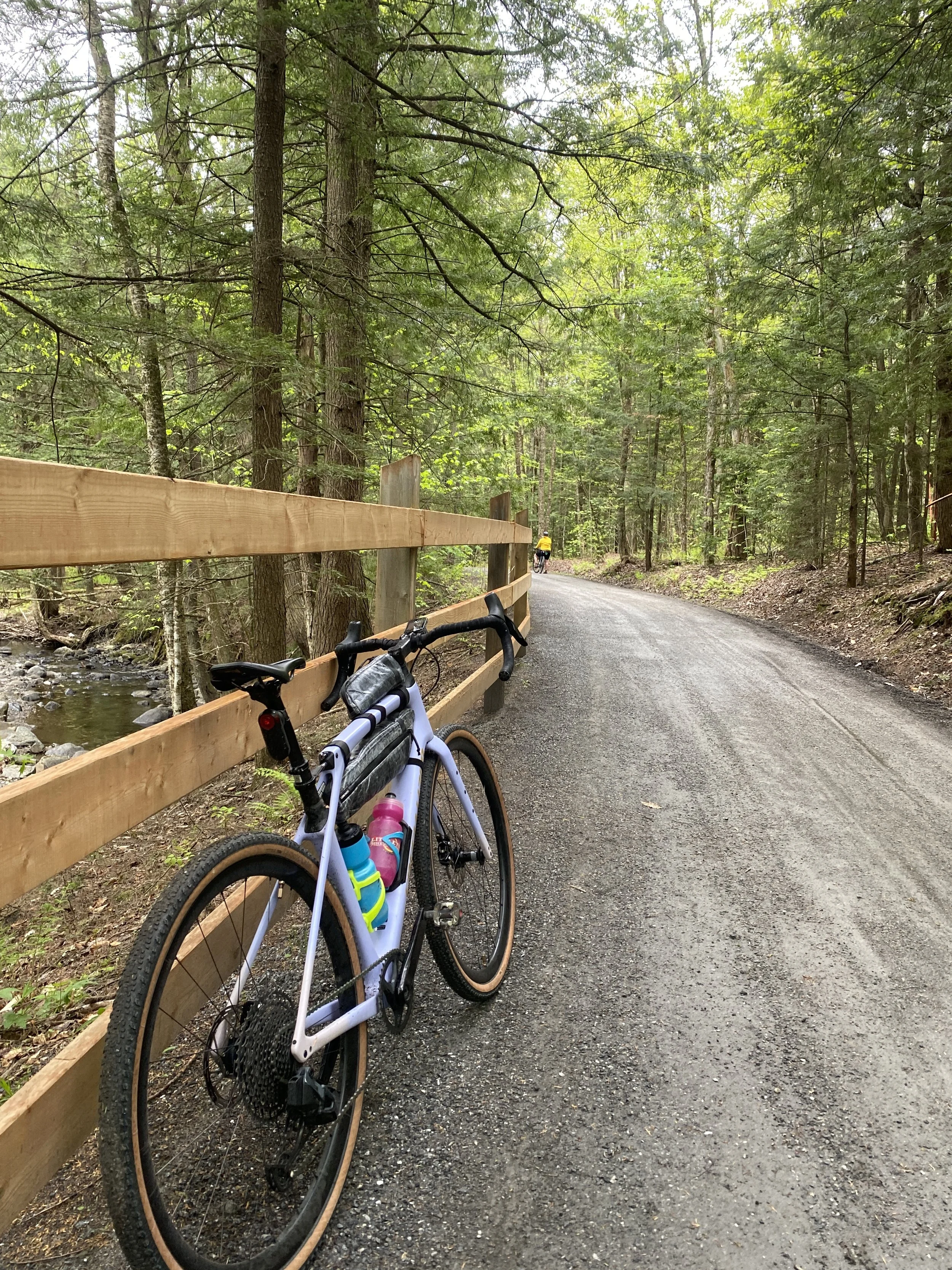
Once outside the park, you'll come to Magog, a charming city that has ample and delicious options for restaurants, breweries, and more. More country riding will take you to your campsite for the night at Camping du Lac Massawippi, nestled on the coast of Lake Massawippi in Ayer's Cliff.
DAY 4
Today is your last day! Ayer's Cliff has several grocery stores to gear up for your final, challenging, and rewarding day. Highlights include gorgeous views on Chemin de la Colline-Brown as well as one of the hardest climbs on the route.
This ascent begins just after Fitch Bay, and culminates in a short section of singletrack trail that leads riders to an adorable country store in Georgeville, with amazing views across Lake Memphremagog to Owl's Head.
Other highlights of the ride include seeing a beautiful, covered bridge in the Fitch Bay Narrows and the Beebe Spur Rail Trail, which runs along the shore of Lake Memphremagog and takes you almost all the way back to Prouty Beach where you started this ride.
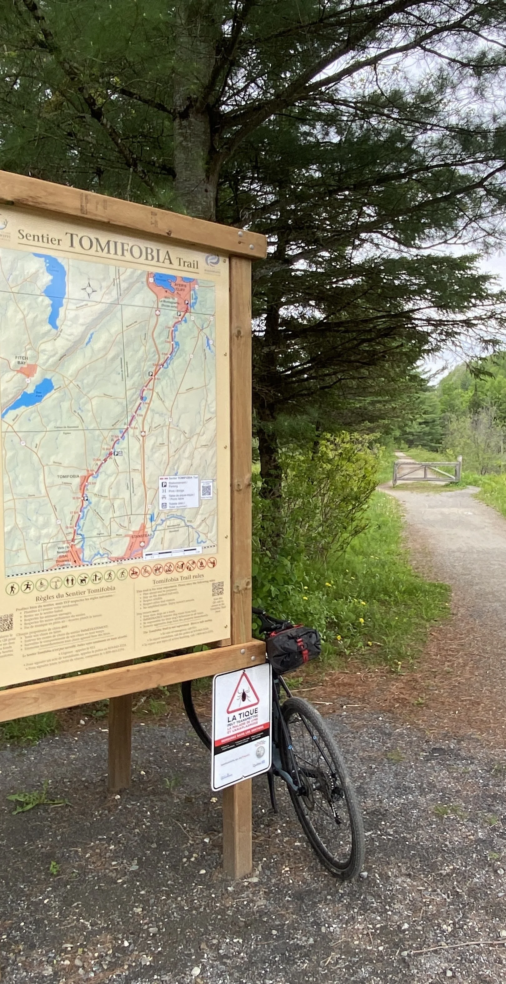
If you want a shorter option back to Newport, consider riding the Tomifobia Nature Trail from Ayer's Cliff to Stanstead as an alternative. This scenic rail trail offers a smoother, flatter pedal back to Vermont.

downloads
RIDE STATS
Distance: 146 miles / 234 km
Suggested Days: 4
Suggested Direction: Clockwise
Elevation Gain: 9671 ft (2948 m)
Climbs: 25
Surface: 56% gravel (82 mi/131 km), 44% paved (64 mi/103 km)
Maximum Grade: Climbing 11.3%, Descending: 13.1%
Route partners & funders
This project was led by The Northern Forest Center, with funding support provided by the
Vermont Outdoor Recreation Economic Collaborative (VOREC) via a grant to Newport Downtown Development.
The route was developed by Northern Forest Center staff with support from the
Eastern Townships Tourism Association, MRC de Memphrémagog, and Vélo de montagne Cantons-de-l’Est.
Ride mapping and promotion support was provided by CRO Planning & Design and Community Geographics.
NEK Gravel is proud to lend map hosting and website support to this initiative.
We welcome the world to come explore the endless gravel riding opportunities in the Northeast Kingdom!